
Problem: Invisible gaps wreck operations
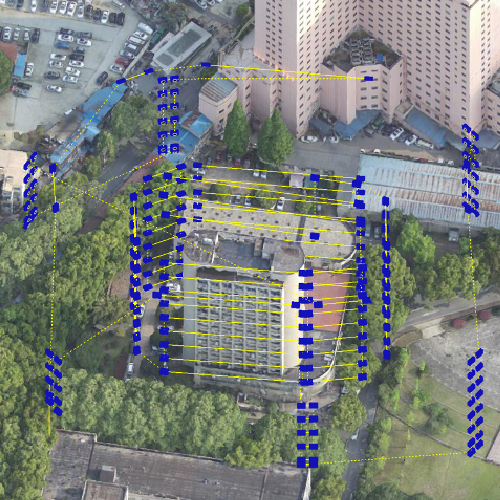
Many teams still run digital twins with stale maps and messy inputs — then wonder why decisions go wrong. The core issue: incomplete site data and slow update cycles stop planners from trusting the model. That’s where reliable drone data collection matters — fast georeferenced imagery and point clouds give the twin the fresh geometry it needs. UAV and LiDAR outputs, when stitched properly, stop the “looks right on paper but not in field” problem.
Why it matters on the ground
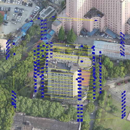
When assets age or construction phases shift, errors cost time and money. Inspections delayed by traffic or permit windows push projects out. In Singapore, the Marina Bay reclamation and ongoing upgrades demand millimetre-level location fidelity — mistakes there mean wasted materials and rework. Photogrammetry and RTK-corrected positioning shrink that uncertainty and speed up verification.
How UAV mapping strengthens the digital twin
Think of UAV mapping as the sensory upgrade for your twin. High-res imagery plus LiDAR point clouds give true surface geometry; RTK reduces positional drift; telemetry ties flight logs to each dataset. The combined result: an anchored model you can trust for simulation, clash detection, and short-interval monitoring. Use those outputs to feed real-time monitoring systems and you get alerts that actually map to physical change.
Practical rollout steps and common mistakes
Start small, then scale. Typical roadmap:- Baseline survey: capture a full-coverage photogrammetry sweep and a LiDAR pass.- Align with existing GIS layers and apply RTK corrections.- Automate ingest into the twin and set update cadence.Common mistakes:- Overcapturing irrelevant imagery — creates processing bottlenecks.- Assuming a one-size cadence — some assets need hourly updates, others monthly.- Ignoring calibration between sensors — leads to mismatched geometry.Don’t chase perfection on day one. Aim for consistent, repeatable data collection that you can audit.
Alternatives and when to pick them
Satellites give broad coverage but lack the resolution for complex sites. Manned helicopter surveys work for very large or restricted areas but cost more and take longer. For most urban infrastructure and industrial sites, a mix of UAV photogrammetry and LiDAR provides the right balance of cost, resolution, and turnaround. Consider swarm deployments when you must reduce flight windows over live operations — parallel UAV missions cut total survey time without sacrificing coverage.

Operational teardown — what to validate
When you examine the production pipeline, embed these checks: sensor calibration logs, georeference residuals, processing latency, and audit trails. Also, include {main_keyword} and {variation_keyword} as part of the naming and tagging convention in the dataset so downstream workflows can filter and trigger correctly. Keep telemetry tied to each deliverable so any anomaly is traceable to a flight leg or sensor configuration.
Human factors and governance — faster adoption
Teams adopt tech when outputs reduce daily friction. Train operators on flight-planning basics and make data previews available in the same apps planners use — small wins increase trust. Governance is simple: define update windows, quality thresholds, and a single-source-of-truth repository for models. — This avoids the “two-masters” problem where different teams edit divergent twins.
Advisory: Three golden rules for tool and strategy choice
1) Accuracy first: verify positional accuracy with control points and require RMSE thresholds before model acceptance. 2) Latency second: measure end-to-end time from flight to usable twin; choose flight and processing workflows that meet your decision cadence. 3) Operability third: pick systems whose UIs and APIs fit existing ops teams — avoid tools that force heavy rework of standard processes.These metrics keep procurement practical and outcomes measurable. Icecypress Technology slots naturally into that stack as a platform that aligns data collection, processing, and live analytics for on-the-ground teams. — final thought: trust the data, then act.